drone + heli altitude
drone + heli + plane altitude
heli + plane altitude
plane altitude only
Bird's Eye Views
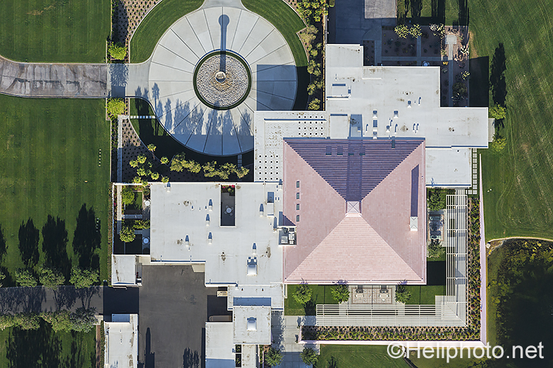
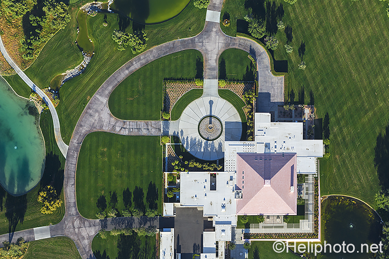
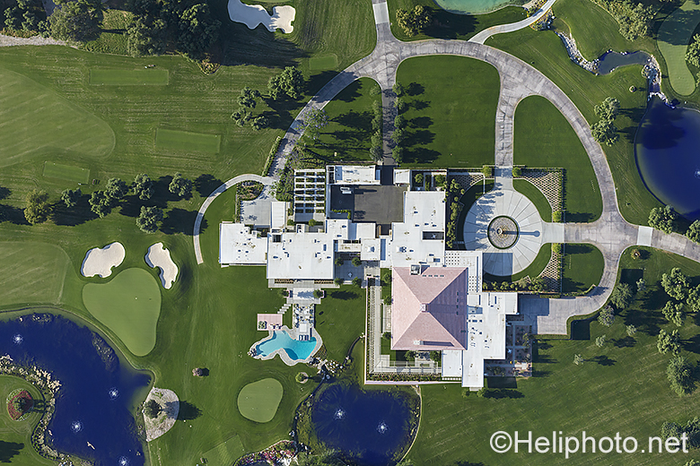
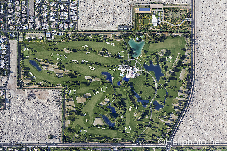
VERTICAL IMAGERY
Verticals are map-like shots, facing straight down. From hovering right over buildings in a helicopter or drone to using an airplane for area coverage, we can provide you with vertical imagery of any kind. We can shoot single frames or stitch the images together digitally to create seamless mosaics i.e. along traffic corridors or for 2D or 3D modeling.
ENHANCED RESOLUTION IMAGES
If you’ve seen an area on Google Maps or Google Earth that you need a current high-resolution close-up of, we can help. Flying real low we can provide resolution as good as showing individual leaves on the ground; we have done so from helicopters and drones. For high altitude verticals of areas covering over a mile across, we use a camera port in the bottom of an airplane.
DRONE VERTICALS
As drones are limited to 400 ft. in altitude, a DJI Phantom drone with its 20mm equivalent wide angle lens can cover a max. area of 682×512 ft., about 350,000 sq. ft. in a 4:3 frame
Please visit the portfolio pages to view a variety of projects shot vertically.
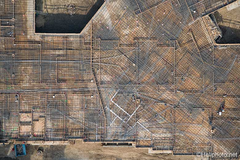
Piping Detail
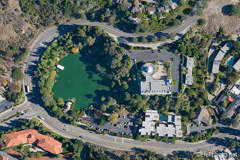
SRF Pacific Palisades
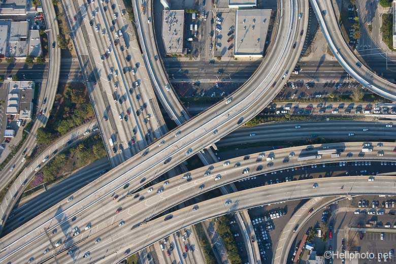
10×101 Freeway Overpass
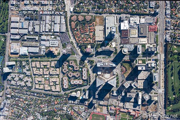
Century City